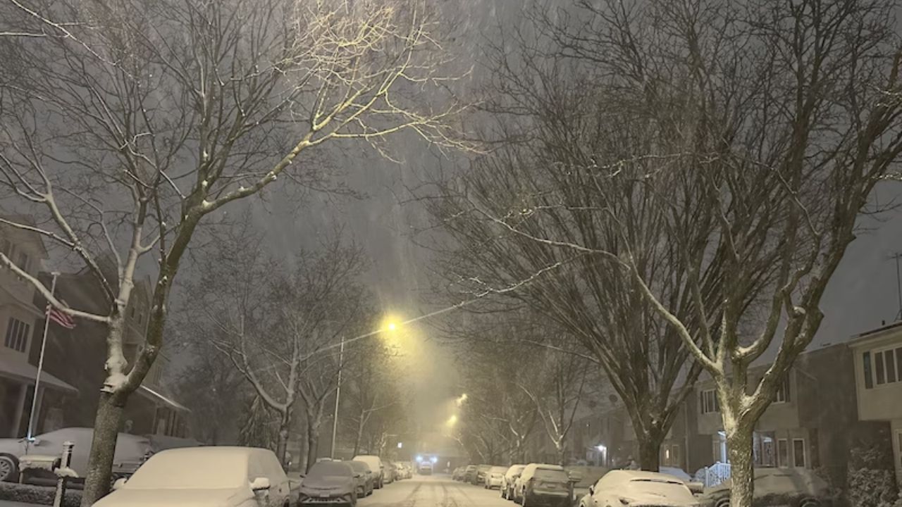
Drivers in northern Indiana are facing a slick and wintry start to New Year’s Day, with freezing drizzle and leftover lake effect snow creating hazardous travel conditions early this morning.
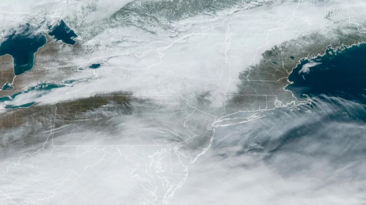
According to the National Weather Service in Northern Indiana, a combination of overnight freezing drizzle and lake effect snow has caused slick places on highways, particularly north of US 6, encompassing South Bend, Elkhart, La Porte, and St. Joseph County. Snow showers may persist at times today, but additional accumulation is predicted to be modest, often less than one inch.
Another weak system arrives in later this afternoon and overnight, bringing light snow and potentially more freezing drizzle. While snowfall levels remain low, even tiny changes in precipitation type can drastically deteriorate road conditions. Untreated roads, bridges, and overpasses will most likely remain icy throughout the day.
Temperatures continue chilly and disagreeable, with highs only reaching the low to mid-20s across northern Indiana. Overnight lows fall into the teens, causing any wetness on roads to refreeze tonight. Indiana State Police advise drivers to slow down, increase their following distance, and avoid rapid braking in icy conditions.
By Friday, snow possibilities have decreased and dry weather has begun to set in. The skies eventually clear, but temperatures remain below freezing, keeping winter in place. High temperatures Friday through Sunday range from the mid-20s to the lower 30s, with nightly lows in the teens.
While the weekend promises calmer weather, leftover ice may remain on shaded or unprotected surfaces. Residents are reminded to exercise caution during early morning and evening travel, and to maintain emergency supplies in their vehicles.
The National Weather Service reports that no major storms are forecast once today’s system passes, but frigid weather will persist over the weekend. Additional updates will be sent if freezing drizzle or snowfall becomes more widespread.


Leave a Reply