Winter weather advisories remain in force for areas of the northeast West Virginia mountains this morning due to mixed precipitation generating slippery travel conditions, according to the National Weather Service in Charleston.
Forecasters predict that locations in northwest Pocahontas, Randolph, and southeast Webster counties may receive up to 2 inches of snow, as well as a light glaze of ice from freezing precipitation. The advisory is likely to expire later this morning when precipitation decreases and conditions gradually improve.
Snow and ice early today may cause slick roads, particularly on untreated surfaces and higher-elevation routes. Motorists going through the affected mountain areas are advised to exercise caution in the morning hours.
Following the wintry start, a milder weather pattern is likely to settle in this afternoon and last into the weekend. Temperatures will stay slightly below normal, with dry weather predicted in most areas through Friday night and Sunday.
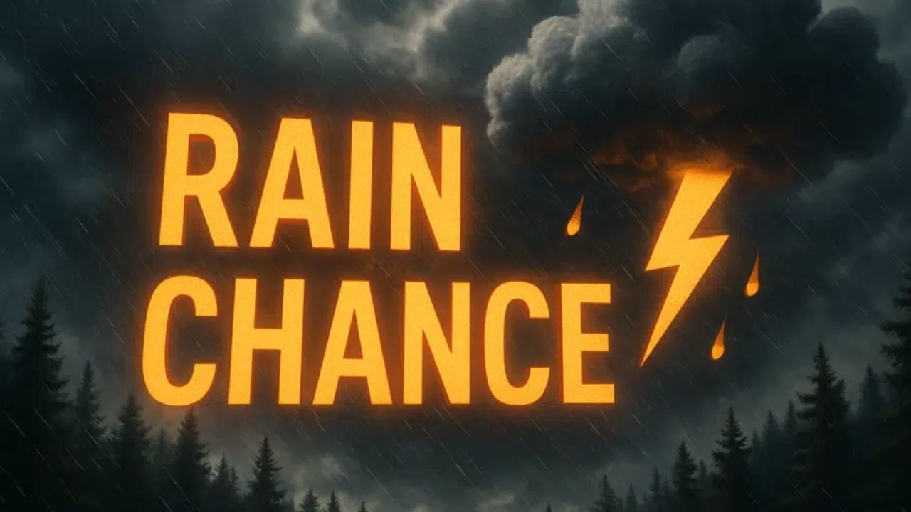
Looking forward, forecasters are keeping an eye on a southern weather system that might bring rain or a mix of rain and snow to southeastern West Virginia and southwest Virginia on Saturday. At this time, the system’s implications appear to be modest, but forecast specifics may alter as the event approaches.
The National Weather Service also observes a warming trend beginning during the first full workweek of 2026. While temperatures are anticipated to warm, there is an increasing likelihood of rain by midweek, indicating a shift away from previous winter weather.
Residents are asked to use caution this morning in advisory areas, and then enjoy quieter circumstances throughout the weekend. Those planning to travel on Saturday, particularly in the region’s south and southeast, should keep an eye out for weather updates.


Leave a Reply