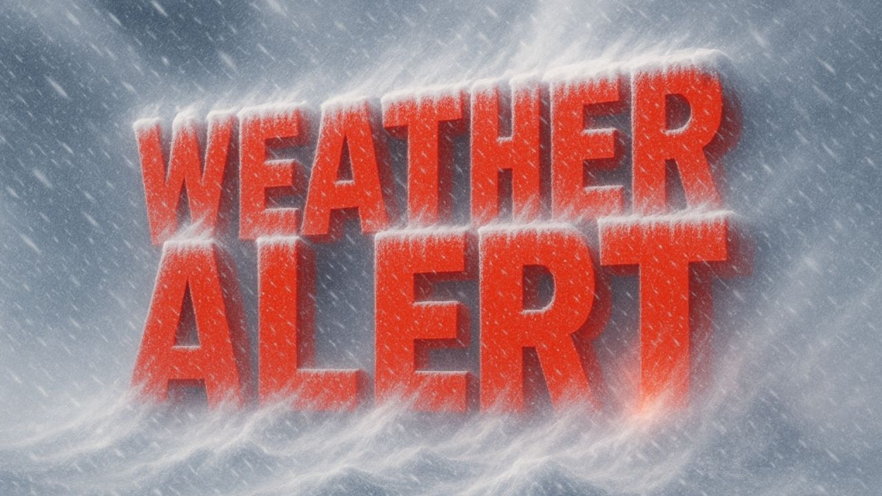
A dynamic weather pattern will bring rain, strong winds, and a return to winter conditions to West Virginia this weekend and early next week.
According to the US National Weather Service in Charleston, a stalled front near the mountains may cause isolated showers late tonight, followed by a more organized bout of rain on Saturday as another disturbance moves through the area. Rainfall on Saturday might be moderate at times, with totals ranging from half an inch to one inch, particularly in the mountains.
Temperatures are expected to remain considerably above normal through Saturday, but things will shift swiftly late Saturday when a powerful cold front moves across the area. Behind the front, considerably colder air will arrive on Saturday night and Sunday.
On Sunday, high winds are forecast across much of the state, causing localized tree damage and power disruptions. The National Weather Service stated that severe winds, combined with lowering temperatures, might create hazardous circumstances, particularly in higher elevations.
Snow showers are predicted to occur on Sunday, particularly in the mountains of eastern and southeastern West Virginia. Light snow accumulations are possible, causing limited disruptions on mountain roads. Lower elevations may experience little to no accumulation, but short snow showers may still limit visibility.
Wind gust projections indicate peak gusts of 30 to 45 mph in some areas Sunday, increasing the possibility of driving issues, particularly for high-profile vehicles.
By Monday, high pressure is predicted to move into the region, bringing drier but cooler weather. Temperatures are expected to continue cool early next week, with another system possible by midweek, bringing rain before turning to snow.


Leave a Reply