Cold air lingers in West Virginia early Monday morning, but it dissipates quickly as clouds gather and rain approaches. Pavement remains dry early Saturday, but conditions shift swiftly by late afternoon, laying the groundwork for a wet and cautious start to the holiday travel week.
According to the National Weather Service, Charleston will warm quickly today, rising from the mid 20s to the low 50s as winds shift light and southerly. Rain begins after sunset and continues into Tuesday, delivering moisture across the Kanawha Valley and much of central West Virginia.
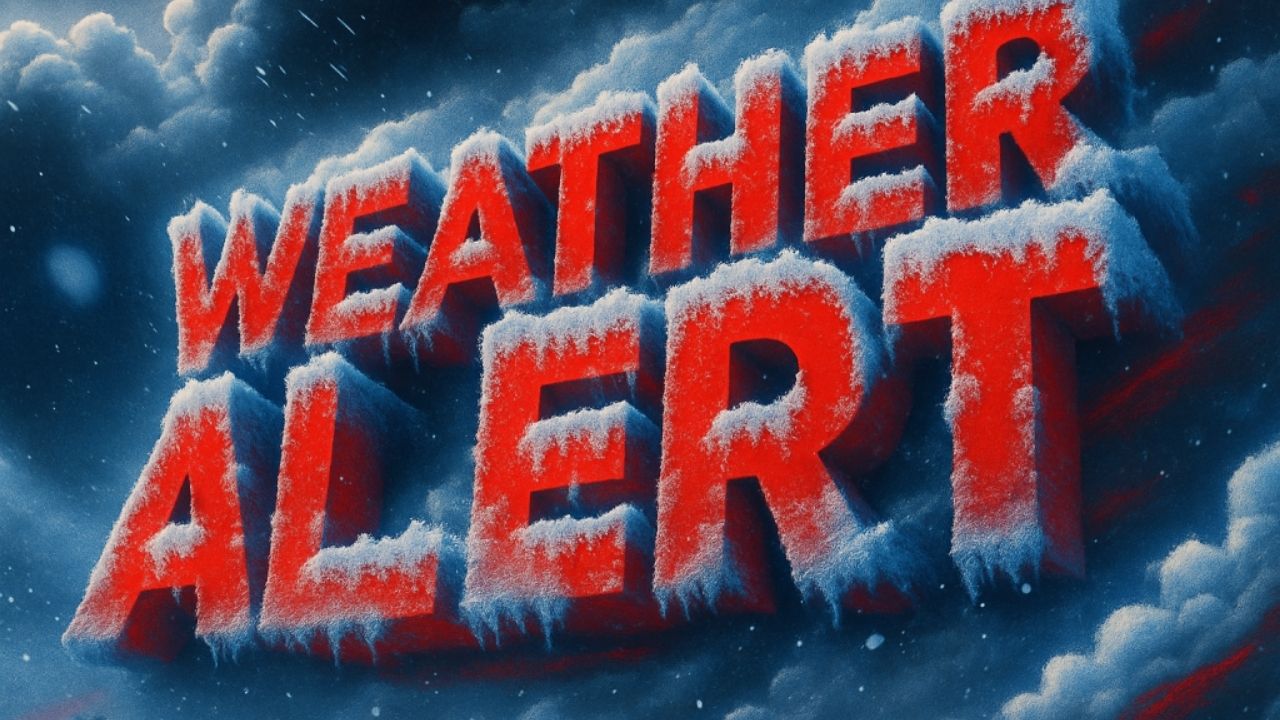
This early part of winter seems misleading. Mild weather will dominate until Tuesday, but the setup raises concerns about hazardous travel once colder air returns. Wet roads on I-64, I-77, and local roadways may freeze again during overnight lulls later this week, a classic flash-freeze pattern that drivers are familiar with in December.
Rain chances remain high until midweek. Tuesday is overcast with intermittent showers and highs in the upper 50s. By Tuesday night and Wednesday, the clouds have settled in, and more rain is expected, including Christmas Eve. While snow is not forecast in Charleston, adjacent higher elevations may see a short mix if temperatures drop to freezing late at night.
Christmas travel arrangements should remain flexible. Allow for extra braking distance, particularly in the early mornings and after dark. Keep your devices charged, check your wipers, and keep an eye out for shaded roads that can quickly become slick with moisture.
This first official week of winter may seem more like autumn, but trends persist. Small temperature fluctuations could have a rapid impact. Traveling for a holiday? Please let us know about the conditions where you are.


Leave a Reply