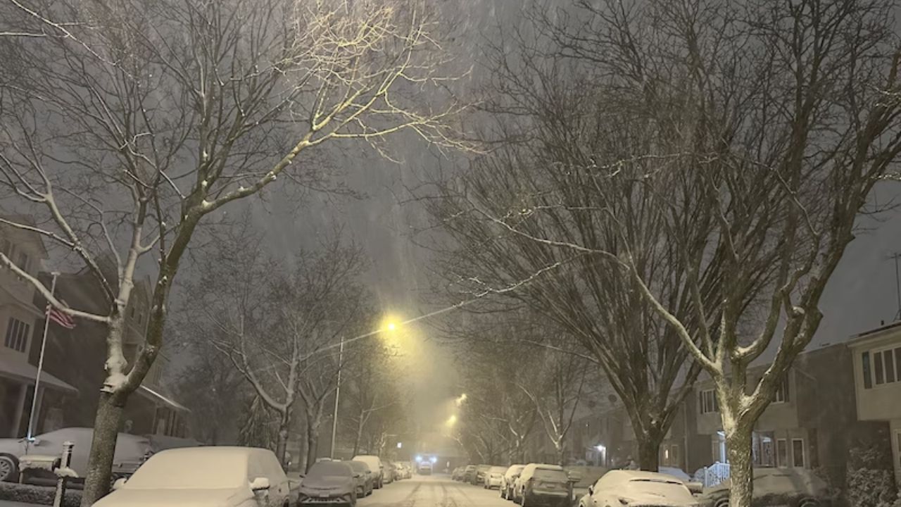
A second significant winter storm is expected to reach the Northeast in the coming days, bringing a perilous combination of widespread heavy rain and damaging winds, as well as hazardous ice and heavy snow inland.
The system will arrive late Sunday afternoon, December 28, and remain until Tuesday morning, December 30.
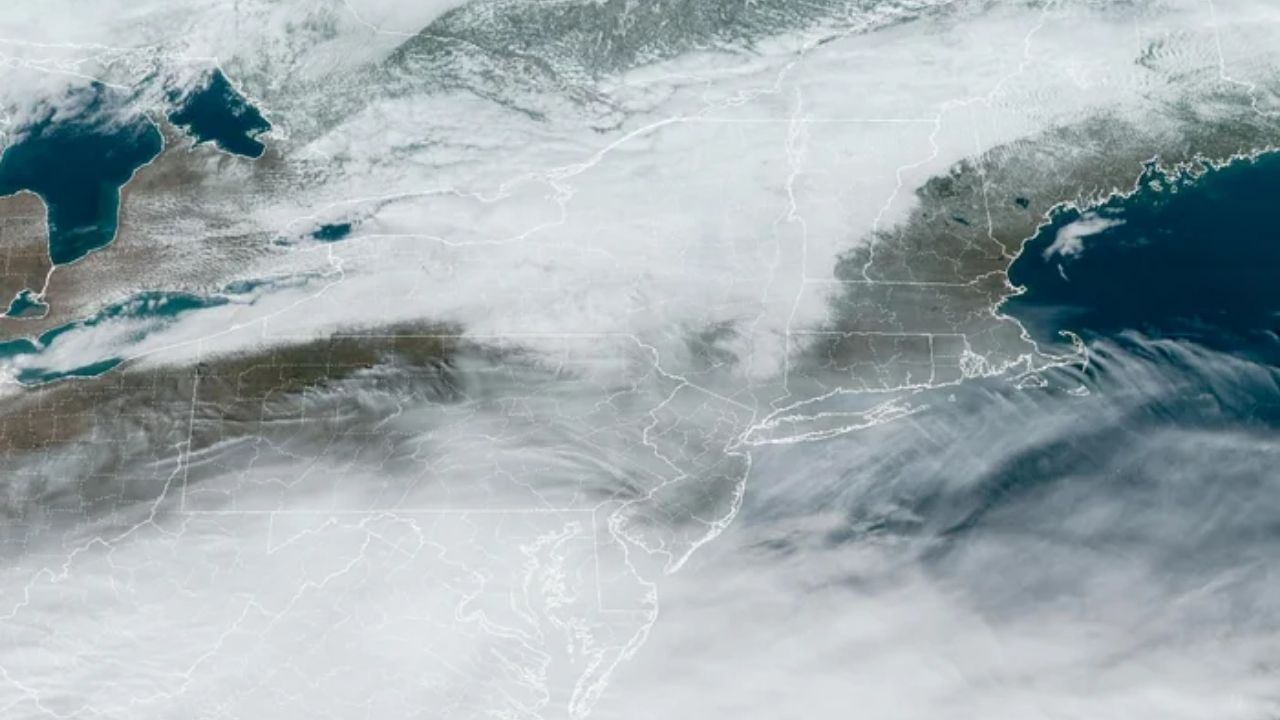
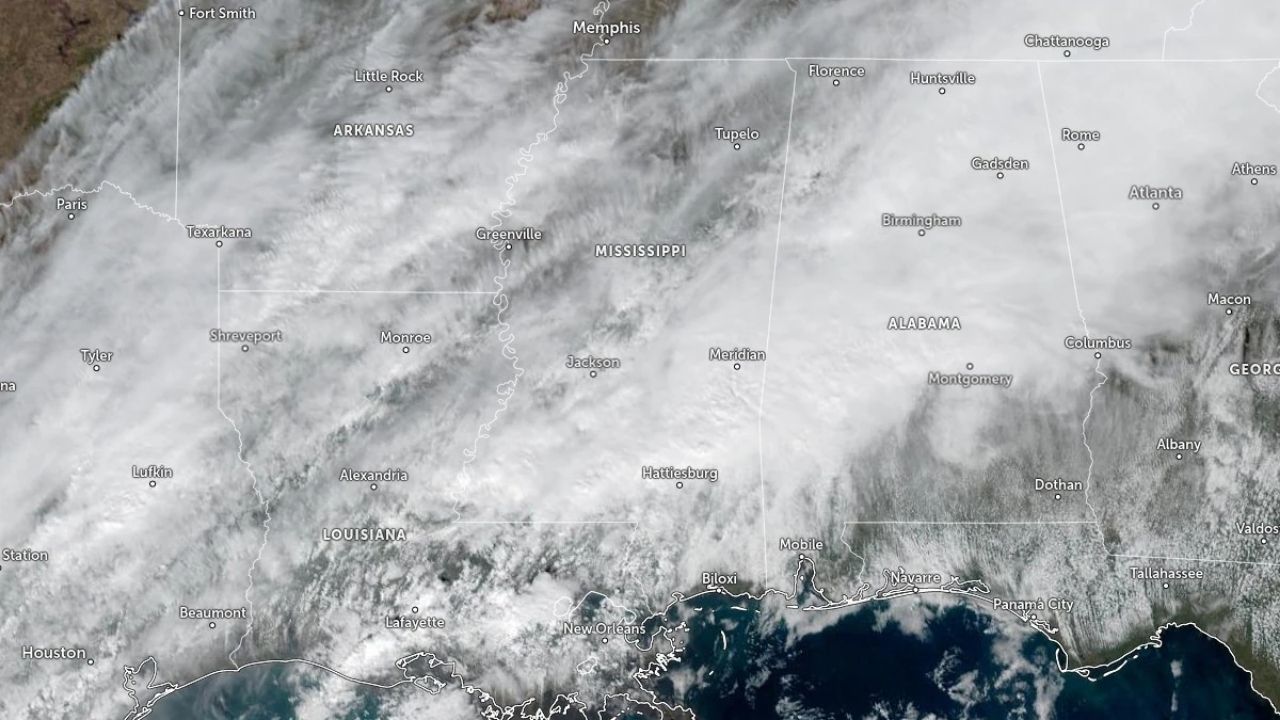
A look at the precipitation types by region for the pre-New Year’s storm that will pass across the Northeast Sunday night, December 28, and Monday, December 29.
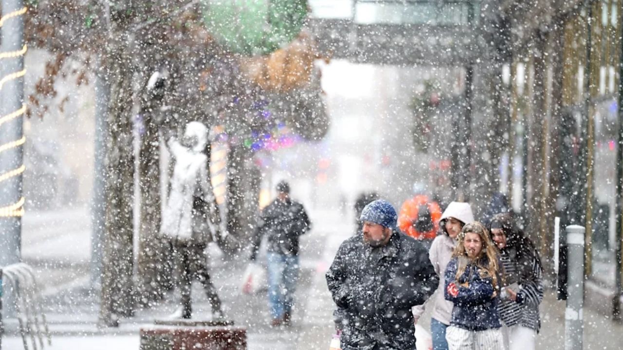
The fresh storm comes shortly after the post-Christmas blizzard that dumped more than 8 inches of snow in areas of the region and prompted thousands of travel delays and cancellations on Friday, December 26.
According to the National Weather Service, the next system, which began with flooding rain in California, will swiftly develop as it passes through the Midwest and Great Lakes before affecting the Northeast.
Much of the Northeast will get rain Sunday night, followed by an icy mix farther north and inland, including some snow.
Some of the farthest north (in red) could get up to a half-inch of ice by Tuesday.
The National Weather Service says that at least 0.1 inch of ice may accumulate in interior areas Sunday night, including northern Pennsylvania, upstate New York, and New England, where temperatures are below freezing.
On Monday, December 29, temperatures will rise well above freezing across the Northeast, and precipitation will decrease from late morning to early afternoon from south to north.
With temperatures dropping below freezing in most places overnight Monday and Tuesday, some areas further north might get up to a half-inch of ice through Tuesday, with most of the slick conditions forecast in the evenings.
Even modest amounts of freezing rain can transform roadways and sidewalks into ice sheets, making travel dangerous.
The National Weather Service also cautions that localized power disruptions are probable.
Ice will form in northern Pennsylvania, as well as inland New York and New England, making travel dangerous from late Sunday into Monday.
Major cities like New York City, Boston, Buffalo, Philadelphia, and Pittsburgh will experience cold, drenching rain and high winds for the majority of the storm’s duration, with periods of wintry mix. Wind gusts of 40 to 60 mph threaten power disruptions, broken tree branches, and airborne holiday decorations through Tuesday.
According to AccuWeather Senior Meteorologist Courtney Travis, “In the Northeast, this will be a warmer storm than the post-Christmas storm, with many interior locales expected to see ice rather than snow.” Icing is forecast in the northern tier of Pennsylvania, as well as areas of New York and New England, from late Sunday into Monday before turning to rain.
The NOAA Weather Prediction Center warns that wind chills might fall below zero in several locations, including northern New England and upstate New York.
Wind gusts of up to 50 mph from the Great Lakes will affect sections of the Northeast on Sunday night.
Travel impacts will be substantial, particularly for air travelers. Following thousands of delays caused by the previous storm, additional problems are predicted at Chicago O’Hare on Monday and at New York City-area airports by Monday night and Tuesday morning.
Substantial snow and whiteout conditions are expected across the Upper Midwest and Great Lakes, with locally substantial lake-effect snow possible in western New York and northwest Pennsylvania following the cold front.
Residents in the Northeast are being encouraged to check predictions and prepare for hazardous circumstances.


Leave a Reply